The Mountains are Calling, and I Must Go
By Chase Smith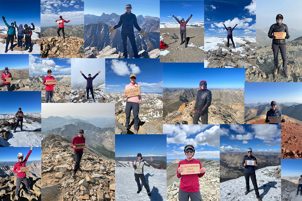
Getting Started: Basic Information for Hiking & Climbing Colorado’s 14ers.
Today it is widely accepted that there are 58 mountains that qualify as Colorado mountains over 14,000 ft in elevation. There is great deal of information out there to help ensure that you have a safe and enjoyable day in the mountains. In this article, I will outline some of my most trusted resources for good information that I use to stay safe and make good decisions in the mountains.
Weather Tips + Tricks
Anyone who has visited Colorado or lives here knows that our weather in constantly changing. Climbing these mountains takes a long time. It is imperative that you understand what the weather forecast is so that you avoid potentially life-threatening storms.
In the summer months: most folks start extremely early (in the dark) to be able to summit and head back down before noon! Most summer storms appear in the afternoon. These storms have rain, hail, graupel, wind, thunder, and lightning. Above tree line, there is nowhere to hide. It is critical that you plan your hike to be down below tree line before a storm hits.
In the winter months: high winds plague us. Look for calm days and get an early start. Snowshoeing up these mountains takes longer as trails are not defined. Going down though is quite quick on snowshoes.
Weather Resources
Open Summit App: I find this the most reliable. It categorizes each day in green, yellow or red. You can drill down on rain, lightning, and wind forecasts hourly. Green days are the best.
Mountain-Forecast.com: I also use this site to compare. It forecasts at various altitudes (summit, mid, and base of mountain)
Noaa Weather App: I also check Noaa forecast
Route Resources
14ers.com: Fantastic site and incredibly useful for planning. Breaks out routes (standard and non- standard), trip reports, peak conditions, and weather. Also, very accurate directions to trailheads. I print out all the directions for hard copies that I carry in my pack in a ziplock bag.
(Colorado Trail Explorer)GPS maps and routes: I download the route ahead of time so that I can use offline when I get to the mountain. Uses less battery. Very easy to learn!
Garmin InReach: I also use my InReach which is a satellite communicator featuring TOPO maps.
Colorado’s Fourteeners – From Hikes to Climbs third Edition Book by Gerry Roach: Considered the classic guidebook known for its accuracy and comprehensiveness with detailed specs on each climb including GPS coordinates.
Ten must have essentials
The ninth edition of Mountaineering: The Freedom of the Hills, published in 2017 (fantastic book) defines the ten essentials as:
1. Navigation: map, altimeter, compass, GPS device, personal locator beacon
2. Headlamp: with LED bulb and spare batteries
3. Sun protection: sunglasses, sun protection clothing, sunscreen (my 2 cents here: also, lip block with sunscreen)
4. First Aid: a first aid kit wrapped in waterproof packaging
5. Knife: hikers on a short trip may also carry a multi-tool, strong adhesive tape (duct tape) and cordage
6. Fire: the means to start and sustain a fire
7. Shelter: plastic tube tent, jumbo plastic trash bag, or a Bivy sack
8. Extra Food: At least one day’s food for short hike, that should require no cooking
9. Extra Water: drinking water and the skills and tools to purify water
10. Extra Clothes: additional items may be needed if spending night in emergency shelter
The first five items are intended to prevent and respond to emergencies. The second five to safely spend one or more nights outdoors.
Other Tips
Garmin InReach: There is a monthly subscription that is well worth peace of mind. The InReach is set up to send emails every hour to my family with GPS coordinates so they can track my progress. There is also an SOS feature in emergencies. Garmin hosts educational webinars every month for its subscription paying members to learn all the bells and whistles available on this device. Often you will not have cell coverage, so the satellite system is the only way to reach people.
Battery Pack: Bring a battery pack. Your 6-hour planned day can easily change. My friends and I take turns putting our phones on airplane mode and each of us uses a different route tracking device for back up. With that being said, often there is no cellular service. So, see above information regarding the InReach
Extra Food: Again, your 6-hour planned day can easily change into 24. I always throw in about 1000 extra calories in my pack and extra electrolyte tablets. My go to snack is Belvita Breakfast biscuits which provide sustained energy and are nutritious and light to carry. However, I also enjoy peanut m n m’s, and Nuun’s hydration electrolytes.
Ability to Filter Water: Water is heavy. Some folks don’t bring enough water and that’s a big problem. I carry 3 Liters as well as a Katdyn BeFree 1.0 L water filter. It’s extremely light and very easy to use.
Layers: Even in the summer, I have a down puffy jacket, winter gloves, wool hat, windbreaker and handwarmers in my pack. You never know when you will need to stay the night on the mountain, and it is not uncommon for 14ers to drop to below freezing temperatures in the summer.
I hope these resources and tips are helpful to you and hiking adventures – stay safe Colorado!